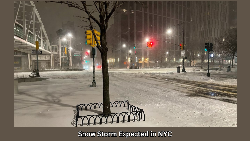
A significant snowstorm is predicted to reach portions of New Jersey, New York, and Connecticut beginning Monday night.
Forecasters with the National Weather Service predict heavy snowfall in some northeastern areas from late Monday through Tuesday, with accumulations of up to two inches per hour in some places.
This storm is not going to move slowly. The snow will fall quickly, and there may be accumulations of up to a foot in certain places.
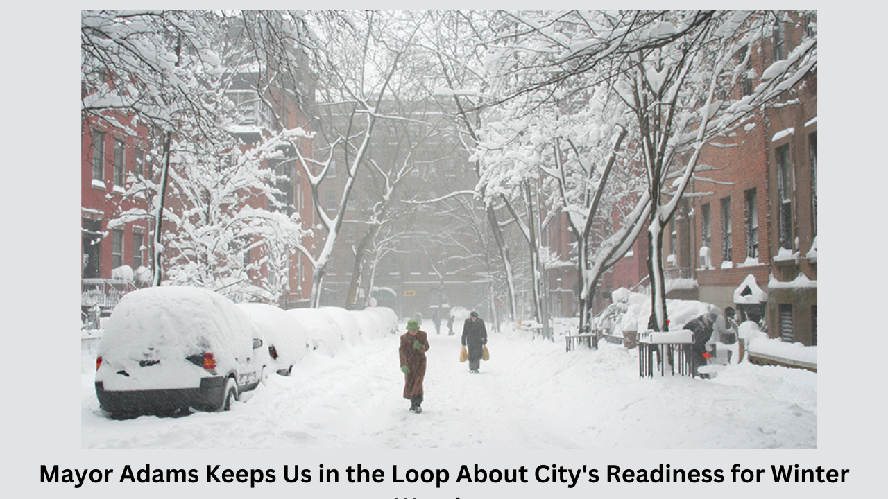
By Tuesday afternoon, Central Park—which hasn’t seen more than half a foot of snow since January 29, 2022—may be the scene of snowmen, snowball fights, and sledding.
The following are the main details regarding the storm:
- 1. There is a good chance that New York City will receive a substantial amount of snow—possibly more than six inches. In the city, the precipitation is predicted to start off as rain and turn into snow, especially for Tuesday morning’s commute.
- 2. The timing of the New York Metro area’s rain to snow changeover is still uncertain, which could affect the total amount of snowfall accumulation.
- 3. The greatest amount of snowfall along the southern New England coast is predicted to fall on Boston. Up to a foot of snow is possible, according to early forecasts, for areas like Boston.
- 4. In advance of the storm, schools are declaring closures. New York City Public Schools said that courses will be held remotely, and Boston Public Schools decided to close.
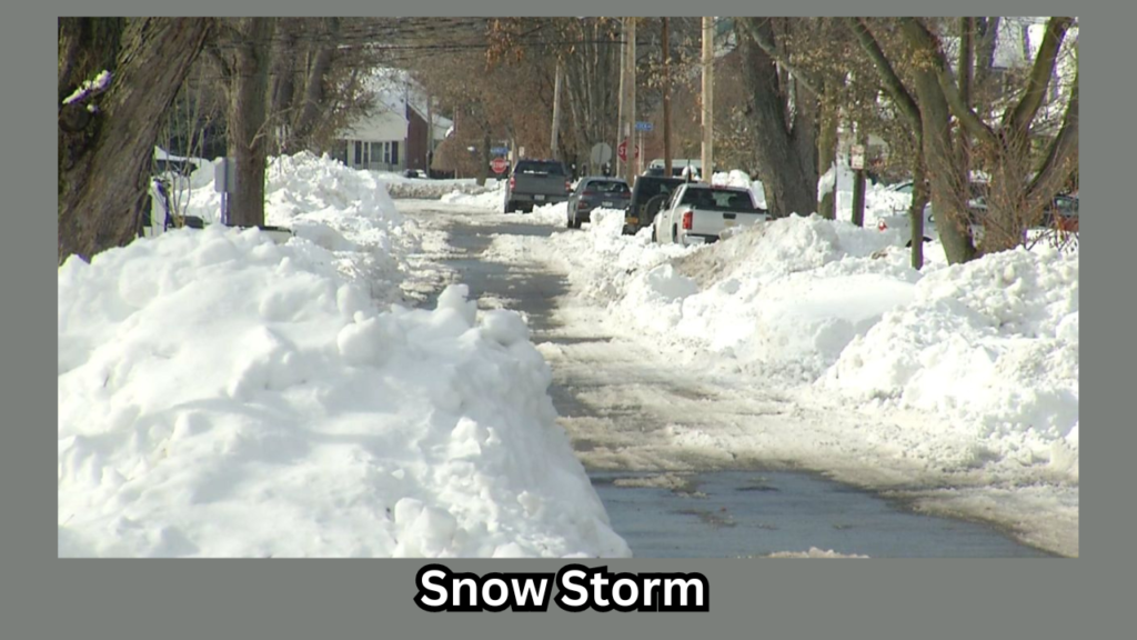
- From the Mid-Atlantic Ocean to New England, snowfall is probable. In Connecticut and the Lower Hudson Valley, at least six inches of snow are predicted by weather services.
- In northern New Jersey, the Lower Hudson Valley, and southern Connecticut, heavy, wet snowfall is predicted, with accumulations of up to 12 inches, especially north of I-84.
Authorities are alerting people to the possibility of severe winds and coastal flooding during the storm. The Weather Service predicts coastal flooding for Long Island and the Jersey Shore.
From Pennsylvania to the Massachusetts coast, with wind speeds of 35 to 40 mph and the potential for 10 to 13 inches of snow accumulation, advisories on winter storm conditions were released. The storm warning is in place until Tuesday at six o’clock.
Forecasters warn that strong gusts and a lot of snow could harm trees and power lines.
Five to eight inches of snow were predicted for Long Island and the New York City metro area.
According to the New York State Department of Transportation, they have 1,544 large plow trucks and 36 snow blowers in their fleet, and they are ready to respond to any weather conditions.
Still, different regions are getting ready in different ways. Dean Ryder, the owner of Thunderridge Ski Area in Putnam County, New York, stated that they are preparing for possible visitor arrivals. He said Thunderridge would see a double increase in enrollment following a significant snowfall if it offered programs aimed at diverting skiers’ attention from their devices. They are, nevertheless, “nothing in the face of a snowstorm” when it comes to increasing business. It involves glancing out your window.”
Be cautious and ready for the impending cold weather!